Council's operating hours on the King’s Birthday public holiday, Monday 9 June 2025 For a full list of service details read more here
- Home
-
Services

Services
Information about Council's regular services and programs.
-
Community

Community
Information about Council's community initiatives and support.
-
Business

Business
Information about doing business and investing in the shire.
-
Development

Development
Information about Building and Development in the Bega Valley Shire.
-
Council

Council
Information about how Council operates.
 Pay online
 Water interruptions
 Road information
 Bin collection
 Waste Centre hours
 Pets and animals
 Lodge a DA
 Tree action request
 Libraries
 Venues for hire
 Report an issue
News and Notices
Browse current Council news and notices, or provide us with feedback on current projects via 'Have your say'.
-

Combined winter activity program for kids and adults
A combined winter activity program for children and adults has been launched by Bega Valley Shire Council in the lead-up to the July school holiday break.
Jun 4, 2025
-

Update on damaged Merimbula boardwalk and next steps
Recent very high tides and powerful winds have caused significant damage to the timber structure at both ends of the Merimbula Boardwalk, prompting Bega Valley Shire Council to close these sections...
May 30, 2025
-

Council opens conversation on concrete and brick recycling opportunities
Bega Valley Shire Council is inviting experienced contractors to help shape the future of waste brick and concrete recycling, with an Expression of Interest (EOI) set to open in early June.
May 30, 2025
-

Temporary disruption to some DA services following IT system upgrade
Bega Valley Shire Council is advising the community of temporary disruptions to some Development Application (DA) services following a recent upgrade to Council’s customer service software.
May 28, 2025
-

Footpath works to improve safety and accessibility on Auckland Street
Bega Valley Shire Council advises of upcoming footpath renewal works on Auckland Street, Bega.
May 27, 2025
-
-Heritage-Awards-1200-628.png?w=359&h=232&mode=crop&crop=faces)
Tathra Wharf highly commended at state heritage awards
The restoration of the historic Tathra Wharf has been honoured at the National Trust (NSW) Heritage Awards, receiving Highly Commended in the Built Conservation category.
May 22, 2025
-

Review of Council policies (batch 1)
At its meeting on 19 February 2025, council resolved to review its local policies in batches. This have your say post concerns the review of the first batch of policies
May 21, 2025
-

Planning proposal: Mount Darrah Road Rural Residential
Have your say on the planning proposal for Mount Darrah Road Rural Residential to amend the Bega Valley Local Environmental Plan 2013 to enable approval of six additional rural residential lots through...
May 12, 2025
-
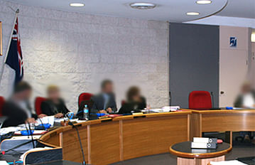
Council Meetings Bega Valley Shire Council
Council meeting information, schedules, agendas and minutes.
Feb 17, 2022
-

Make a Suggestion
Help us make it better, suggest something.
Mar 7, 2022
-

Development proposals on exhibition
Have your say on applications open for public comment.
Feb 17, 2022
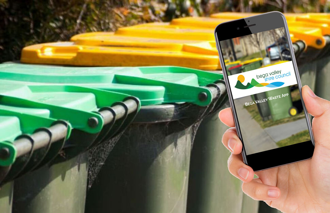
When do I put my bin out?
Council's free Waste App helps you stay up to date with bin collection days and learn how to recycle more effectively.
Don't have the Waste app? Find it by searching for Bega Valley Waste in your App store or head to the website.
Need a venue?
The Bega Valley Commemorative Civic Centre has a range of room hire options to suit your needs.
Find out more
Our Libraries have more than just books!
Check out what the library has on offer.
Bega, Bermagui, Eden and Tura Marrang.

Funding notification
Don't miss out on funding, register your expression of interest and be notified when a grant becomes available.
Register your details© Bega Valley Shire Council 2025
Our council websites
Contact Us
- 02 6499 2222
- [email protected]
-
Zingel Place
PO Box 492
Bega NSW 2550 -
Monday to Friday 9.00AM to 4.30PM
Administration building Zingel Place Bega
Australia -
ABN: 26 987 935 332